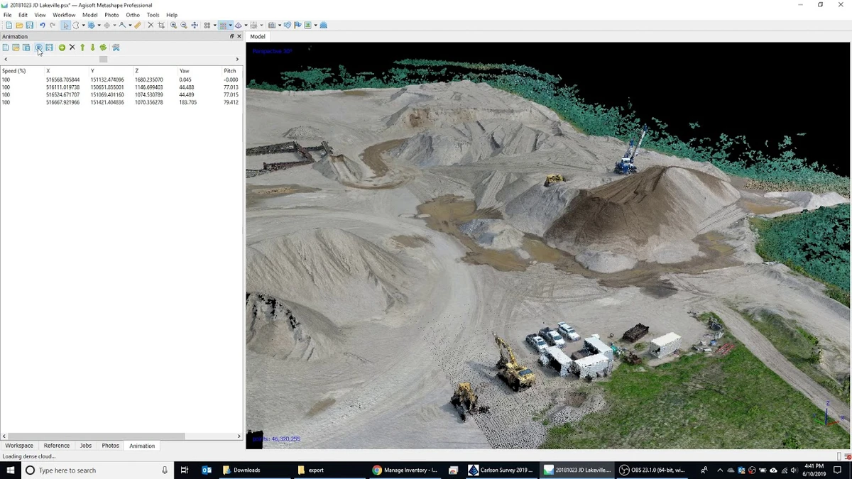

Agisoft Metashape Professional (formerly PhotoScan) is a powerful photogrammetry application designed to convert overlapping digital images into highly accurate 3D spatial data. It is widely used in fields such as GIS mapping, cultural heritage preservation, engineering, surveying, and visual effects production. By combining photogrammetry and computer vision techniques, Metashape automates much of the 3D reconstruction workflow while still offering advanced manual controls for professional users.
Features of Agisoft Metashape Professional
- Photogrammetric triangulation for 3D reconstruction
- Supports aerial (nadir, oblique) and close-range images
- Automatic camera calibration (frame, fisheye, spherical, cylindrical)
- Multi-camera project support
- Dense point cloud generation
- Point cloud editing and classification tools
- Export support for .LAS format
- Digital Elevation Model (DSM/DTM) generation
- Orthomosaic creation (GeoTIFF, KML export)
- Georeferencing using GPS, GCPs, and EXIF data
- Support for EPSG coordinate systems (WGS84, UTM, etc.)
- Measurement tools (distance, area, volume)
- Color correction for large mosaic datasets
- Block-based export for large-scale projects
- Integration with external GIS and CAD tools
User Experience
Agisoft Metashape Professional provides a structured workflow that guides users from raw image input to final 3D output models. While beginners can follow automated processing steps, the software truly excels when used by professionals who understand photogrammetry principles. The interface is functional and task-oriented, with clear stages such as alignment, dense cloud generation, mesh creation, and texture mapping. Each stage offers adjustable parameters, allowing users to balance speed, accuracy, and computational load.
Processing can be resource-intensive, especially for large aerial datasets, but the software efficiently utilizes modern CPUs and GPUs to accelerate reconstruction tasks. One of its strengths is flexibility: users can produce everything from small-scale object scans to large geographic terrain models, depending on project requirements.
Who Should Use Agisoft Metashape?
- GIS professionals and surveyors
- Archaeologists and cultural heritage researchers
- Drone mapping specialists
- Civil engineers
- 3D artists and VFX studios
- Scientific researchers working with spatial data
Conclusion
Agisoft Metashape Professional is a high-end photogrammetry tool capable of transforming images into precise 3D spatial models and georeferenced datasets. Its combination of automation and advanced manual control makes it suitable for both research and production environments.